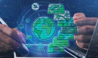
Strengthening Geospatial Information Management: Using the Integrated Geospatial Information Framework (Virtual Knowledge Exchange)
Unlock the power of geospatial information technology for economic transformation. Solve complex problems and enhance daily routines with innovative digital services.
Program Overview
In the digital era, geospatial information technology has emerged as a major contributor to economic transformation for many countries. Every decision we make, every event or daily activity we do occurs at a geographic location. Geospatial information is used across different sectors to solve complex problems such as hazard risk management, integrated transportation, sustainable land administration and management, health services, urban policy and planning, and much more.
Innovative geospatial information technologies are ?disrupting? conventional ways for addressing the development and management of different sectors, transitioning the culture, education and institutional frameworks along with its evolution. From navigating closest restaurants to tracking logistics and planning optimal delivery routes, the transforming digital services built on geospatial information, GPS and base maps have gradually become part of our daily routine.
User Reviews
Be the first to review “Strengthening Geospatial Information Management: Using the Integrated Geospatial Information Framework (Virtual Knowledge Exchange)”
You must be logged in to post a review.


There are no reviews yet.