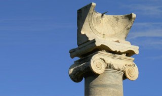
How to Protect Heritage Sites Remotely – Archaeology Course

Learn how to use satellite imagery to identify and assess archaeological sites in the Middle East and North Africa with this course from Durham University.
Who is the course for?
This course is designed for anyone interested in archaeology and using remote sensing.
It will be particularly useful for heritage professionals working in countries in Middle East and North Africa (MENA) countries.
What topics will you cover?
Utiliser l’imagerie satellitaire pour l’archéologie
Repérer les restes archéologiques
Repérer les dégradations
Paysages argileux
Paysages rocailleux
Communiquer des informations : réaliser des cartes
What will you achieve?
By the end of the course, you‘ll be able to…
Effectuer des tâches de télédétection de base avec des plateformes d’imagerie satellitaire gratuites telles que Google Earth Pro
Identifier les processus archéologiques de base qui influencent la formation des sites
Identifier une série de sites archéologiques grâce à l’imagerie satellitaire.
Évaluer les menaces et les dégradations des sites patrimoniaux à l’aide de techniques de télédétection.
Créer des cartes à l’aide de Google Earth Pro
User Reviews
Be the first to review “How to Protect Heritage Sites Remotely – Archaeology Course”
You must be logged in to post a review.


There are no reviews yet.