
Environmental Engineering Applications of Geographic Information Systems
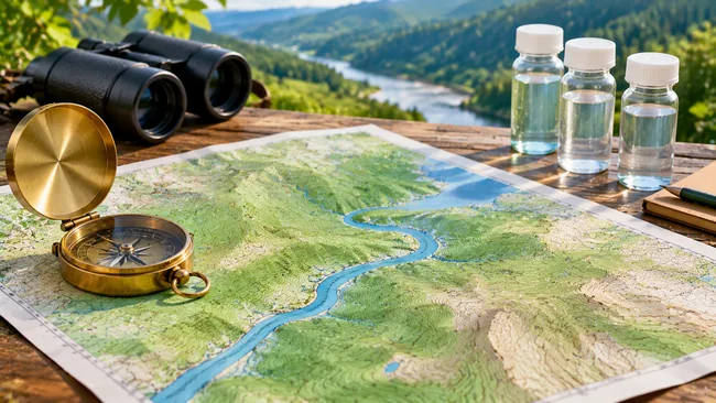
Course facts
- Payment: Free, no certificate
- Credits: Non Credit
- Learning style: Self-paced, start anytime
- Resources: Lecture Notes
MIT OpenCourseWare details
- As taught in: Fall 2004
- Department: Civil and Environmental Engineering

| Course Details | ||||||
|---|---|---|---|---|---|---|
|
||||||
| Outcomes | ||||||
|
||||||
| Price & Terms | ||||||
|
||||||
| Technical | ||||||
|
||||||
| Specification | ||||||
|
||||||

GIS for environmental engineers: spatial data, map projections, raster and vector analysis and hydrologic functions, with lecture notes.
Environmental engineers increasingly work with maps and spatial data, and this graduate seminar introduces Geographic Information Systems for that purpose. Lectures explain general concepts and lab exercises apply them to map making, projections, raster and vector data, hydrologic functions and site selection. Students also plan mobile field work, model cost paths and present a project of their own.
What You Will Achieve
- Query spatial data and make maps in a GIS
- Choose and use suitable map projections
- Process raster data and DEMs for hydrologic analysis
- Use vector analysis for a site selection problem
Program Overview
GIS Basics
The first lectures introduce the tools.
- Introduction to GIS
- Spatial data
- Map making in GIS
- Using map projections
Raster and Vector Analysis
The next lectures practice analysis.
- Raster data
- Hydrologic functions
- Site selection exercise
- Cost path modeling
Field Work and Projects
The rest applies these to students’ work.
- Mobile GIS
- Project work time
- Project presentations
Course Completion
Job Outlook
These skills are widely used in environmental engineering, water resources, planning and site assessment.
Good for: Environmental engineering students and practitioners who are new to GIS and learn best through exercises.
Keep in mind: The class used ArcGIS 8.3, and outside users must buy the software, so menus and steps will differ today. Only lecture notes are listed, and data may not be included.
Bottom line: A short practical introduction to GIS ideas, though you will need a current software guide alongside it.
Frequently Asked Questions
Which software does the class use?
ArcGIS 8.3, which was available to MIT students. The syllabus says outside users have to purchase it.
How is each session organized?
A lecture followed by a lab exercise completed outside of class, twice a week. Exercises often run past class hours and are due before the next class.
Which exercises are named?
A basic ArcGIS tutorial, querying data on a map, a site selection exercise using vector analysis and cost path modeling with raster processing.


There are no reviews yet.